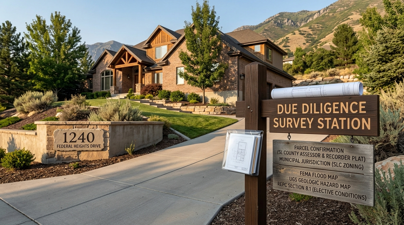
Use the exact address to confirm the parcel and municipal jurisdiction first. Then check Salt Lake County Assessor parcel data, the Recorder's instruments and plats, the applicable city's zoning route, FEMA flood maps and amendments, and Utah Geological Survey hazard maps. Utah's REPC Section 8.1 supplies an elective Due Diligence Condition and names physical, environmental, geologic, and other investigation subjects. Do not treat any public map or record as a survey, title opinion, site investigation, appraisal, insurance quote, or property-specific conclusion.
Any parcel-specific zoning, flood, geologic-hazard, title, lien, easement, ownership, value, permit, or physical-condition result.
No target address or parcel was supplied or queried; the pack supports the route, not an outcome.
An official or statistical Federal Heights boundary, incorporation status beyond the Census place-file finding, or neighborhood-wide property result.
Federal Heights has no row in the opened Census incorporated-place file and no authoritative neighborhood boundary was opened.
A conclusion that a map or public record eliminates the need for professional title, survey, engineering, geologic, legal, insurance, or inspection work.
Each publisher defines a bounded record or screening route, not a complete property conclusion.
Private MLS data, individual listing facts, client experience, unpublished transaction facts, or promotional neighborhood claims.
None is required or supported by the opened public authorities.
Begin with the exact address and responsible jurisdiction
The first useful input is the property's complete street address. It lets a buyer identify the assessment parcel and confirm which municipal authority governs the site before applying a zoning code or other local rule.
The U.S. Census Bureau's 2020 Utah place reference lists Salt Lake City as an incorporated place but contains no incorporated-place row named Federal Heights. That finding does not define Federal Heights, decide its legal status for every purpose, draw a neighborhood boundary or locate a home. It means the locality label alone is not enough to choose a jurisdictional rule.
Salt Lake City Planning likewise says its zoning information covers properties within Salt Lake City and directs users to verify jurisdiction. For an actual purchase, resolve the address first and retain the evidence used to identify the responsible local authority.
No target address was supplied for this article. It therefore provides a verification workflow and no property-specific result.
Confirm parcel identity without treating assessed value as sale price
The Salt Lake County Assessor provides a Find a Parcel route using address or owner information. Its parcel-data documentation explains the public assessment information available for parcel identification and tax context.
Record the parcel identifier returned for the exact address and use it consistently in later checks. A spelling variation, unit number or nearby address can lead a researcher to the wrong record, so parcel identity comes before interpreting any other field.
Assessment data has a bounded role. Do not substitute an assessed fair market value for a sale price, a recommended offer or a property-specific appraisal. Those are different conclusions and are not supplied by this evidence set.
Review recorded instruments and plats with qualified professionals
The Salt Lake County Recorder is the county's public-record custodian for real-estate transactions, liens and subdivision plats. That makes the Recorder a separate address-level route for identifying recorded instruments and plats associated with a parcel.
A buyer's file can note which recorded materials were located and preserve the document references for professional review. It should not convert a search result into an ownership, lien, easement or title conclusion. Use qualified title and survey professionals to interpret the records and determine whether additional material is required.
The public-record route is useful because it separates parcel identification from recorded-instrument review. The Assessor and Recorder serve different functions, and neither record should be made to prove more than its publisher says it can establish.
Use the zoning authority that governs the actual parcel
Salt Lake City Planning provides an online zoning map and land-use tables for properties inside Salt Lake City jurisdiction. The page also warns users to confirm jurisdiction before applying those materials.
Once the exact address and parcel are known, confirm which city or county planning authority governs the site. Only then should a buyer open the responsible authority's current map and rules. This article asserts no zoning designation, permitted use, unit count, setback, approval or development right for any property.
The absence of an authoritative Federal Heights boundary in the opened sources makes this sequence especially important. A familiar locality name cannot substitute for the responsible government's parcel-level determination.
Check FEMA flood maps and amendment layers
FEMA's National Flood Hazard Layer includes flood-hazard zones, FIRM panels, Letters of Map Revision and Letters of Map Amendment. The Flood Map Service Center is the human-facing route for address-specific map products.
Run the lookup for the actual address and parcel, identify the panel and effective map information, and check amendment layers rather than relying on a screenshot or secondhand label. A regulatory flood zone is not a prediction of whether flooding will occur and is not an insurance quote.
The generic route establishes where to look. It does not establish a flood-zone result for a property because no address was queried here.
Screen geologic hazards and identify where further evaluation is needed
The Utah Geological Survey hazard portal and its hazard maps and publications identify areas where earthquake, landslide, flood and problem-soil hazards may be present and where additional evaluation may be needed.
These resources are regional screening tools. They can help a buyer identify a question for follow-up, but a map does not prove the condition of a parcel and does not replace site-specific engineering, geologic or inspection work.
Record the map title, layer, date and location searched. If a screening layer raises a question, preserve it for the qualified professional responsible for evaluating that issue. This keeps the source useful without turning a map into an unsupported property conclusion.
Tie the checks back to Utah's elective Due Diligence Condition
Section 8.1 of Utah's state-approved Real Estate Purchase Contract provides an elective Due Diligence Condition. The form names physical condition, hazardous substances, environmental issues, geologic conditions, square footage and other investigation subjects.
The checkbox election and transaction terms matter. Parties may alter, delete or replace form provisions, and a blank state form proves nothing about a particular contract or property. Review the actual executed agreement and deadlines with the appropriate professionals.
The public-record workflow helps organize questions that may be investigated under a transaction's agreed terms. It is not legal advice and does not decide whether a condition applies, whether a deadline was met or what remedy may exist.
Use a four-column verification grid
| REPC subject | Public route | Professional follow-up | Boundary |
|---|---|---|---|
| Parcel and jurisdiction | Salt Lake County Assessor and responsible planning authority | Confirm the correct parcel and governing jurisdiction | No address or parcel result is stated here |
| Recorded instruments and plats | Salt Lake County Recorder | Title and survey review | A record search is not a title opinion or survey |
| Zoning and land use | Planning authority that actually governs the parcel | Planning, legal or design review as appropriate | No zoning or development-right conclusion is stated |
| Flood mapping | FEMA Flood Map Service Center and NFHL amendment layers | Insurance or floodplain review when needed | A regulatory map is not a flood prediction or insurance quote |
| Geologic screening | Utah Geological Survey hazard maps | Site-specific engineering or geologic evaluation when needed | A regional map is not proof of parcel condition |
| Contract due diligence | The actual executed REPC and transaction file | Legal, inspection and transaction professionals as appropriate | The blank form proves no property or contract fact |
This grid is a lookup sequence, not a substitute for the underlying records. Preserve the exact source, date and parcel identifier used for every address-level answer.
Keep the final file tied to the actual property
A useful buyer file starts with the exact address, verified jurisdiction and assessment parcel. It then separates assessment data, recorded instruments, zoning, flood mapping, geologic screening and the executed contract into distinct evidence tracks.
Do not fill an unresolved field with an assumption based on a neighborhood label. Do not turn assessed value into a transaction price, a regional map into a site finding or a public-record search into a professional conclusion. The responsible publisher or professional should answer each property-specific question.
For related Salt Lake City transaction context, see the competing-offers REPC grid, Federal Heights and Holladay access guide, and Cottonwood Heights and Federal Heights housing-choice guide. Those pages address different questions and do not replace address-level records.
Frequently asked questions
Why must a buyer verify the property's jurisdiction first?
The opened Census incorporated-place file does not define Federal Heights, and Salt Lake City Planning limits its zoning route to property inside city jurisdiction. Resolve the exact address before applying local rules.
Is the assessor's fair market value the home's sale price?
No. The Assessor supplies parcel and tax-assessment information. This article does not use assessed value as a sale price, offer recommendation or appraisal.
What should a buyer check in recorded public records?
Use the Salt Lake County Recorder to identify relevant real-estate instruments, liens and subdivision plats, then route interpretation to qualified title and survey professionals. The search itself does not establish ownership, title, liens or easements.
Does a flood or geologic-hazard map prove a home's condition?
No. FEMA and Utah Geological Survey maps provide regulatory or regional screening routes. They do not prove parcel condition, replace site-specific investigation or eliminate the need for professional review.
To organize an address-level Federal Heights verification file using the responsible public routes, contact Kamee Shrope Realty.